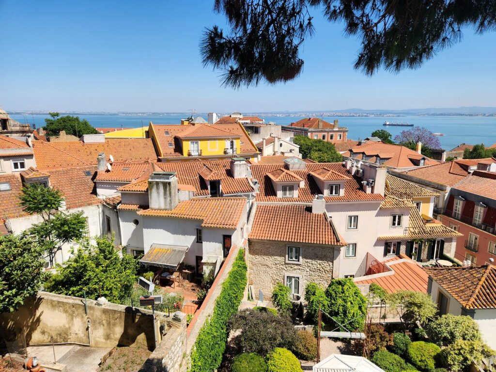
Rounding Portugal’s southwest coast
Having enjoyed a good taste of what Lisbon and its satellite beach towns had to offer, it was time to get back under way. So, having fuelled up, we poked our nose out of the marina entrance and were immediately whisked along seaward by the Targus’ strong tidal current. With a SE heading we made good speed to the SW, a perfect direction to clear the shallows and rocks on the river’s southern side (the Cachopo do Sul).
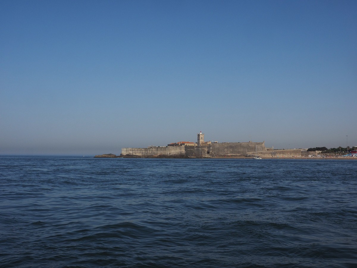
Leaving Oeiras, and the Forte de São Julião da Barra, behind.
Avoiding orcas and drones
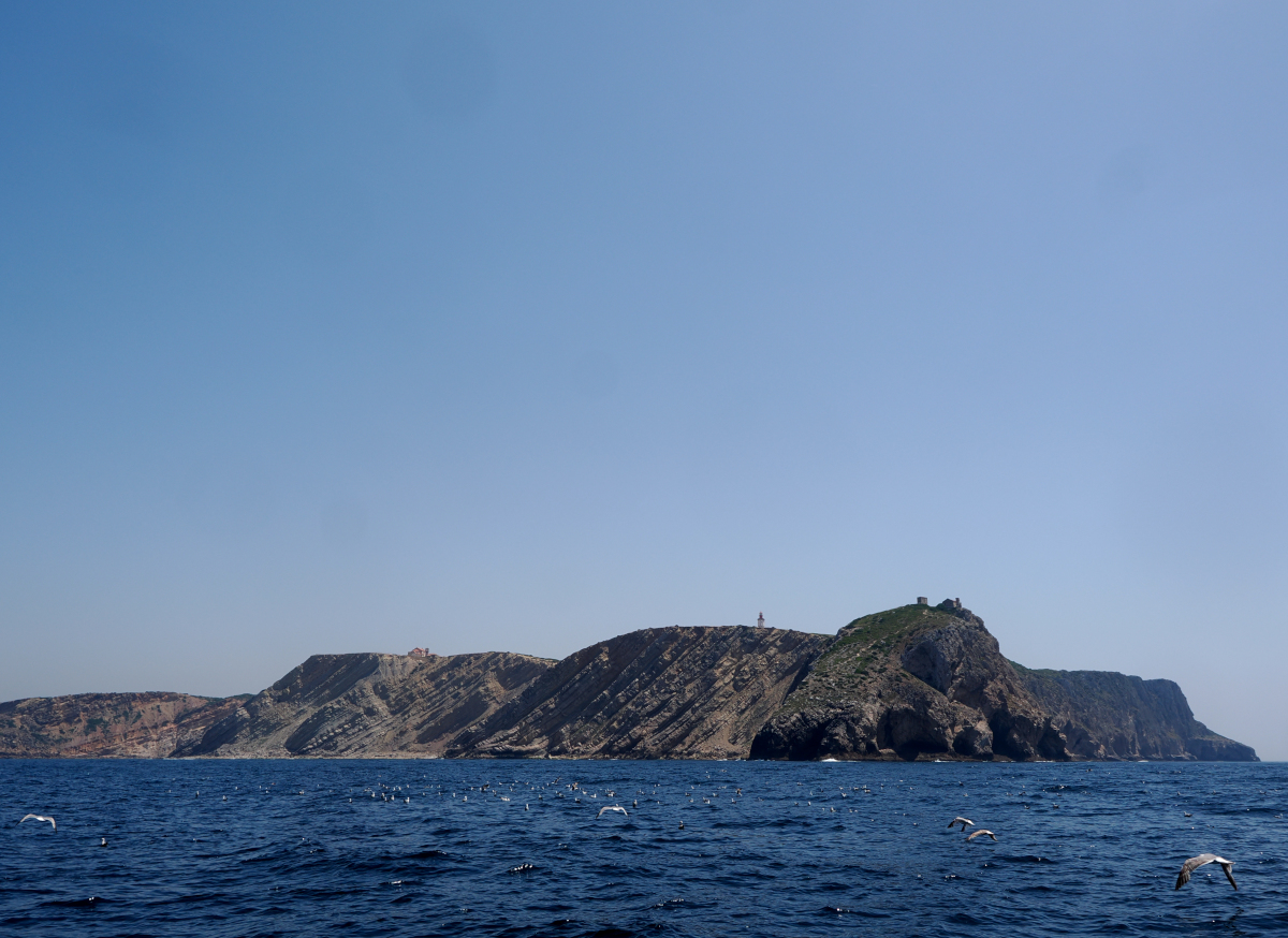
Once clear of the Cachopo, we followed the 20m contour (to avoid those orcas) south along the beaches to the spectacular cliffs of the Cabo Espichel. Here great laminar slabs of uptilted rock rise abruptly out of the sea, flat, angular and dark, like so many massive slate scales. On their upper most parts a low, algal, scrub covered what appeared to be a thin layer of dunes. Several of the promontories sported light houses, or their remains, which broke the smooth skyline with their sharp warning towers pointing the way to heaven for those who venture too close.
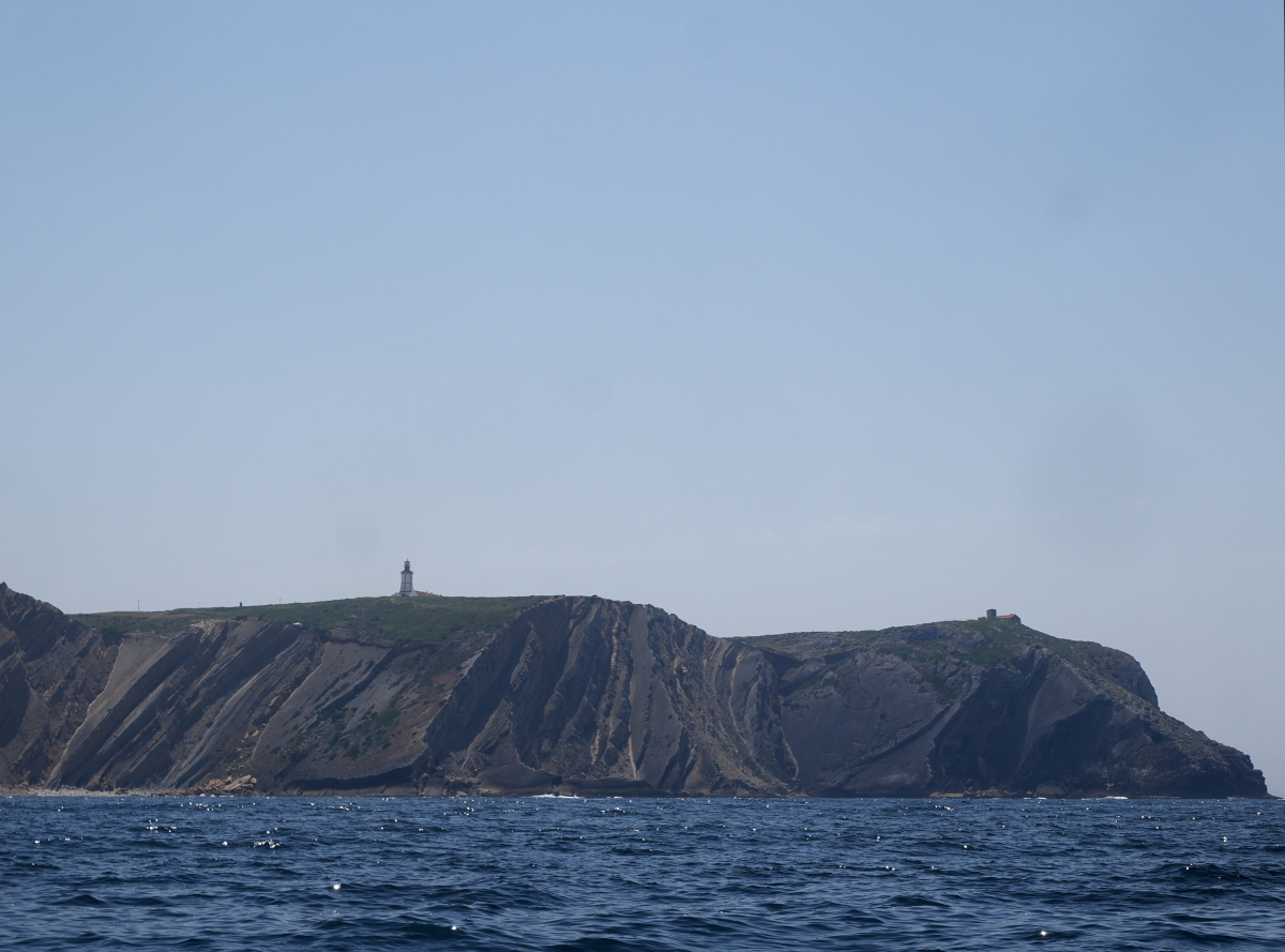
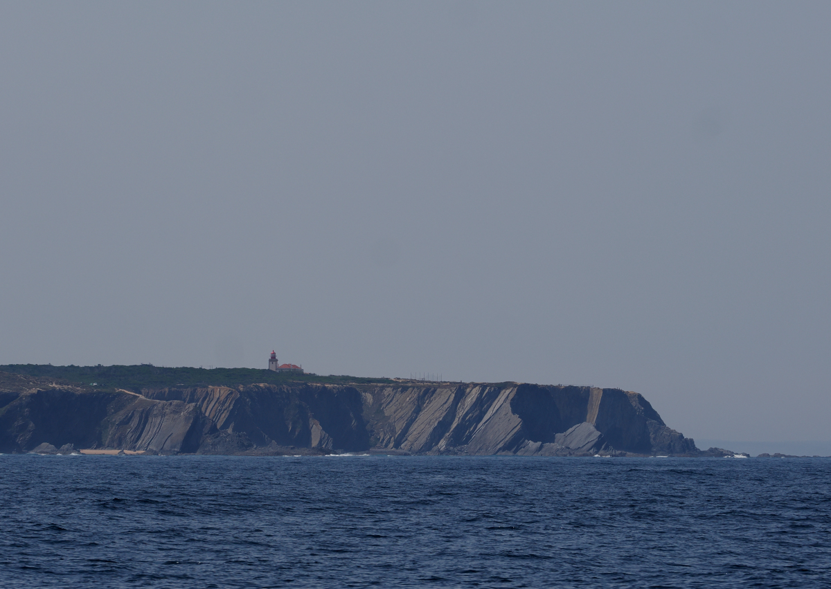
Light houses situated on spectacular cliffs.
From Cabo Espichel the coast cuts east, skirting around a deep ocean trench. Sticking to the 20m contour here would have added a lot of time to our next stop at Sines so, after consulting the orca interaction websites and seeing no recent activity north of the Gibraltar Strait, we decided to risk it and cut across the trench towards Sines. Even so, we couldn’t venture too far out over the trench, as the Portuguese navy was testing underwater drones in the canyon. Happily, we managed to avoid attacks by both drones and orcas.
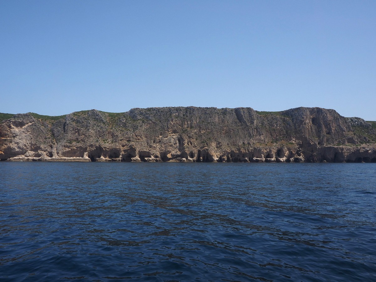
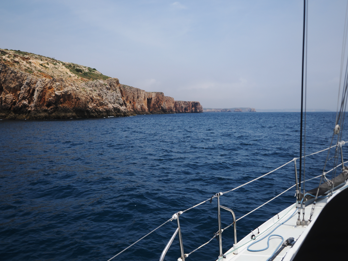
Eroded coastline along the way.
Anchoring in tight spaces
Once in the harbour of Sines, we attempted to find a spot to anchor in the very tight space between the marina and the fishing port. Unfortunately, the handful of yachts already anchored there were distributed in such a manner that there wasn’t really room for Yuma. After a couple of failed attempts at anchoring, and having been warned about a seagrass no-go-zone by one boat and a harbour employee, we decided to just head into the marina for the night. In reality there probably was room for us but having so rarely had to anchor in a crowd before we are a perhaps just a bit timid about squeezing ourselves into these spaces.
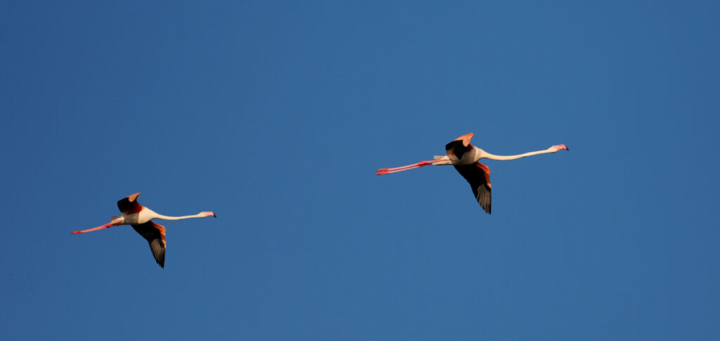
We came across quite a few rafts of seabirds along the way.
More coast, cliffs and Cabos
The coast line south of Sines is perhaps the least developed part of the Portugues coast. Low scrub covered dunes run sometimes down to the water but more often are perched above the same darkly angled, slab cliffs that we encountered at Cabo Espichel.
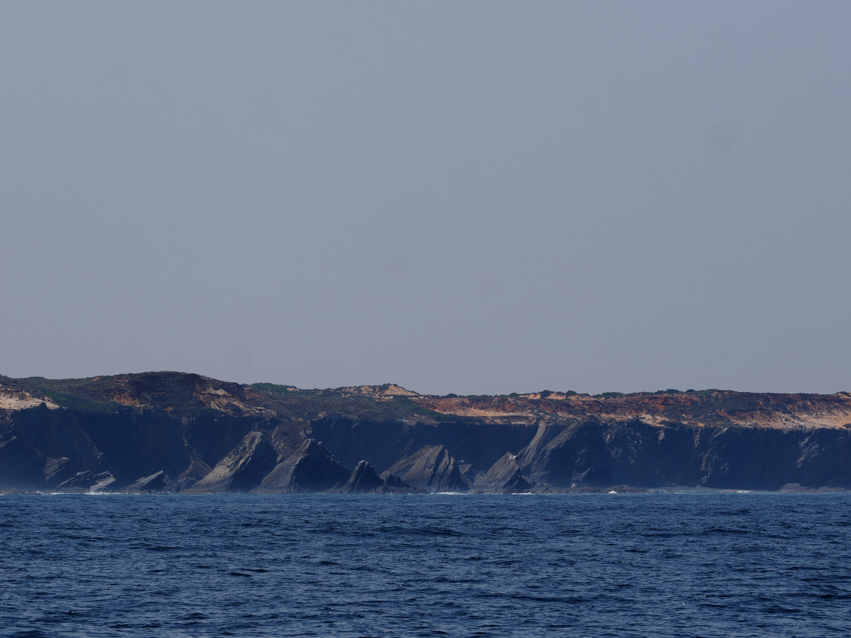
Dune-like vegetation on top of steep cliffs.
Where ever breaks in the cliffs allowed, due to creeks or deformities in the rock layers, vehicle tracks wound down to the water’s edge. In a couple of places there was enough space for what from a distance looked like a restaurant or bar, elsewhere there was just enough room to launch a boat and park a couple of cars.
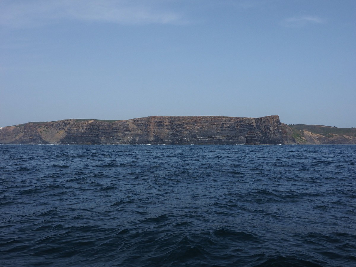
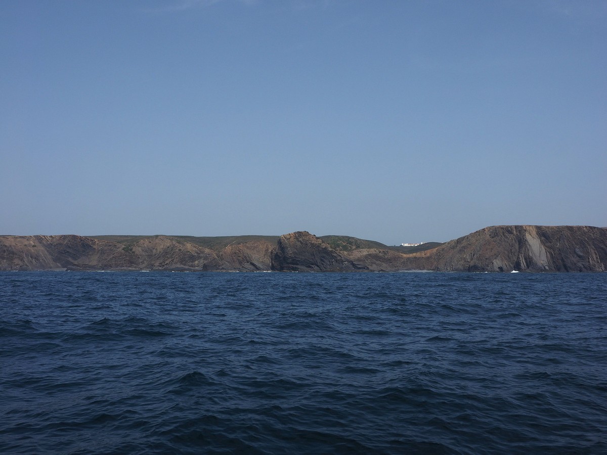
More spectacular coastlines in the distance.
In the early afternoon we slid in under a deep fog bank, swapping our bright hazy day for a cooler, greyer, more intimate version. A couple of hundred metres to the east, just visible under the skirts of the fog, we could just make out the surf on the rocks and, briefly, a village on a long shallowly sloped slab. Then, after an hour or so of foggy solitude, we popped back out into the sunshine under the dramatic cliff line that led down to Cabo de São Vincente. Somewhere along this stretch, the geology changed from the dark, rectangular grey slabs of slate-like rock to the bright yellows and oranges and rounded, eroded forms more reminiscent of sandstone.
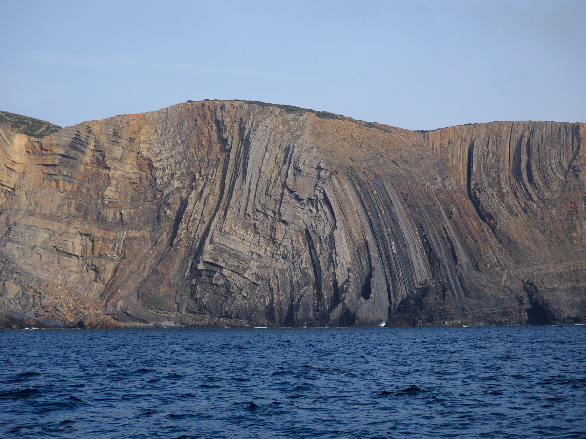
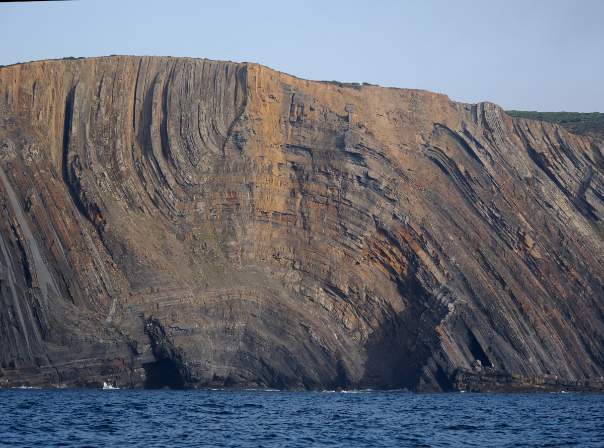

Incredible patterns in the rocks.
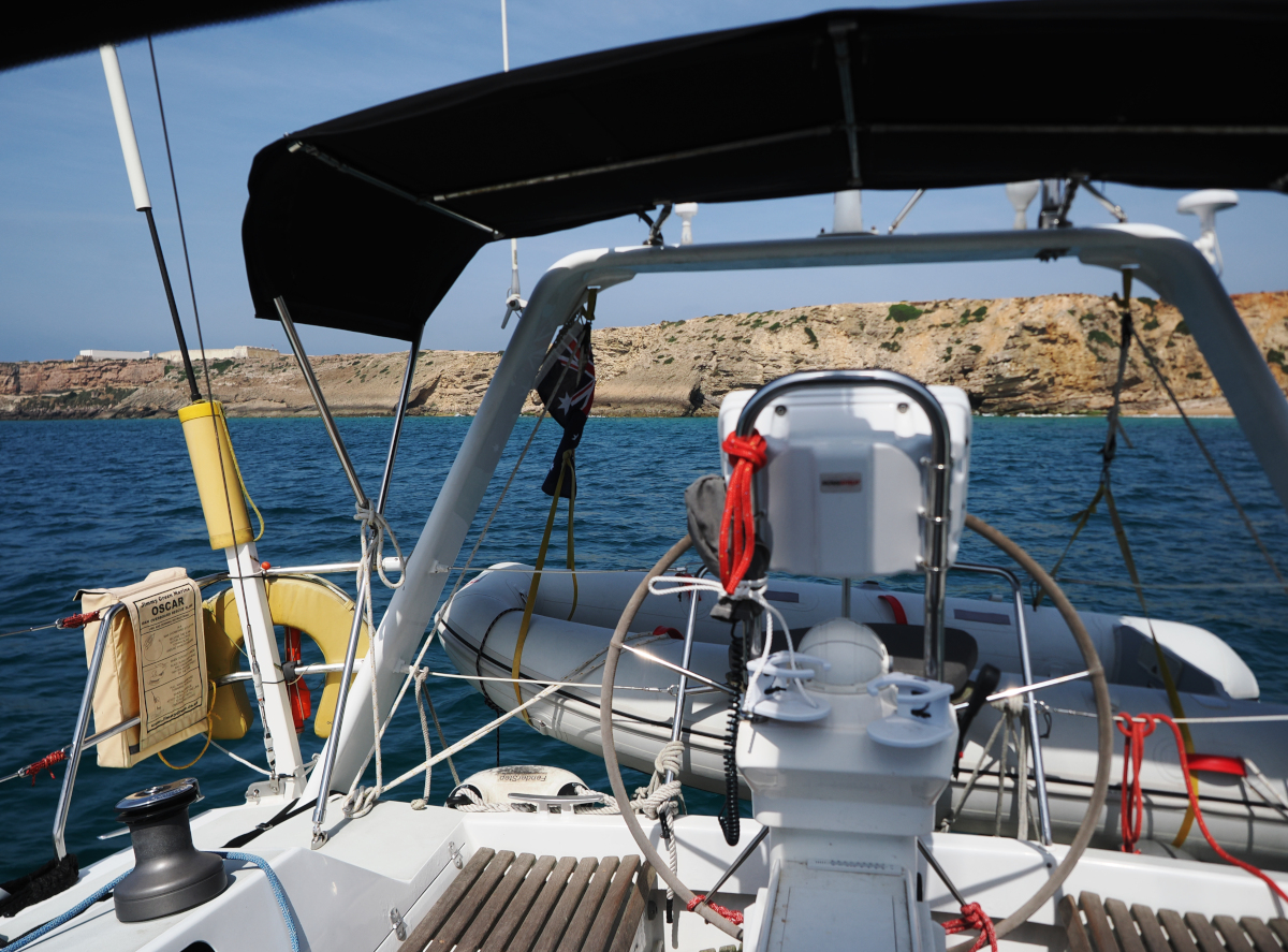
We anchored that night in Enseada de Sagres, a wide bay just a short distance east of Cabo de São Vincente. On the cliffs to the west of us was the low outline of a fort that is falsely reputed to have been the navigation school established by Henry the Navigator early in the Portuguese Age of Discovery. Falsely? Well, apparently it was actually just one of the last places the caravels and carracks stopped before making for the open ocean. At the eastern end of the bay a small beach town clambered up the hillslopes from the back of the beach. What a gorgeous spot, and what an incredibly beautiful coastline!


I hadn’t even thought about underwater drones being a thing…..(but of course they would be) did you see any whiz by?!?
No, we didn’t, but then again, I guess that is the whole idea 😅.
Prachtig.
Bedankt!
Mooi om te lezen en mooie foto’s ook!
Dankjewel!
Leuke foto’s en leuk om om jullie verhaal te lezen
Dankjewel! Leuk dat je mee leest!
Drones en orka’s…. aan spanning geen gebrek 😱
Nee, klopt! Gelukkig geen van beiden gezien. Daarentegen zijn wij vast wel gezien 😎.